
ORLANDO, Fla. – Scattered to numerous afternoon and evening storms will be possible over the next several days across Central Florida, with coverage at 50-70% between 2 p.m. through sundown.
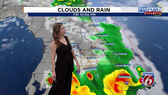
On Friday afternoon, the collision zone of the sea breezes will be focused around the I-4 corridor, with few lingering storms moving over the coast late into the evening hours.
On Saturday and Sunday, a slightly stronger East Coast sea breeze looks to push the collision zone further west, toward I-75.
Some stronger storms will again be possible Friday and the weekend, with the main threats including lightning, gusty winds (40-50 mph) and heavy rain.
Rainfall accumulations of up to 2-4 inches will also be a concern Friday and into the weekend due to weak steering winds and an extra-moist airmass. This may lead to short term minor flooding of roadways and other flood-prone areas.
TEMPERATURES
Along with the summer storms, the summer heat will also remain in place for the Orlando area.
Highs are expected to run above average — in the mid- to low 90s — with heat index values climbing to 102-107 degrees.
As of now, models show temperatures staying below Heat Advisory criteria through the weekend.
TROPICS
The National Hurricane Center on Friday has highlighted a trio of systems in the tropics, two of those tropical waves developing unusually far east for late June.
Area No. 1: Invest 94
The broad area of low pressure, that we’ve been tracking all week over the western Caribbean will quickly track toward Central America and the Yucatan Peninsula by the weekend.
The NHC is giving the area a 30% chance of tropical development over the next seven days.
Area No. 2: Invest 95
An aggressive tropical wave several miles west-southwest of the Cabo Verde Islands will continue to move into a favorable environment into the weekend.
The National Hurricane Center is giving it a high probability (80-90%) of development within the next two days.
A tropical depression or tropical storm is likely by the weekend as it approaches the Windward Islands.
The next named storms will be called Beryl.
Area No. 3:
A tropical wave slightly east of Invest 95 is producing disorganized showers and storms.
Some slow development of the system is possible early next week.
The NHC is giving it a 20% chance of tropical formation over the next week.
Get tropical weather updates from Jonathan Kegges.


Post comments (0)